
Today
Light rain shower
- Rain
- 91%
- Wind
- 7.2 km/h
- Gusts
- 11.2 km/h
State of Mexico
A high-altitude destination shaped by forest, a volcanic crater, alpine lakes and hikes that change completely with the starting point and the goal for the day.
Destination details
The destination
Nevado de Toluca is not a single trail. Visiting the crater, hiking from Parque de los Venados and attempting a summit are different plans, each with its own effort, preparation and conditions.
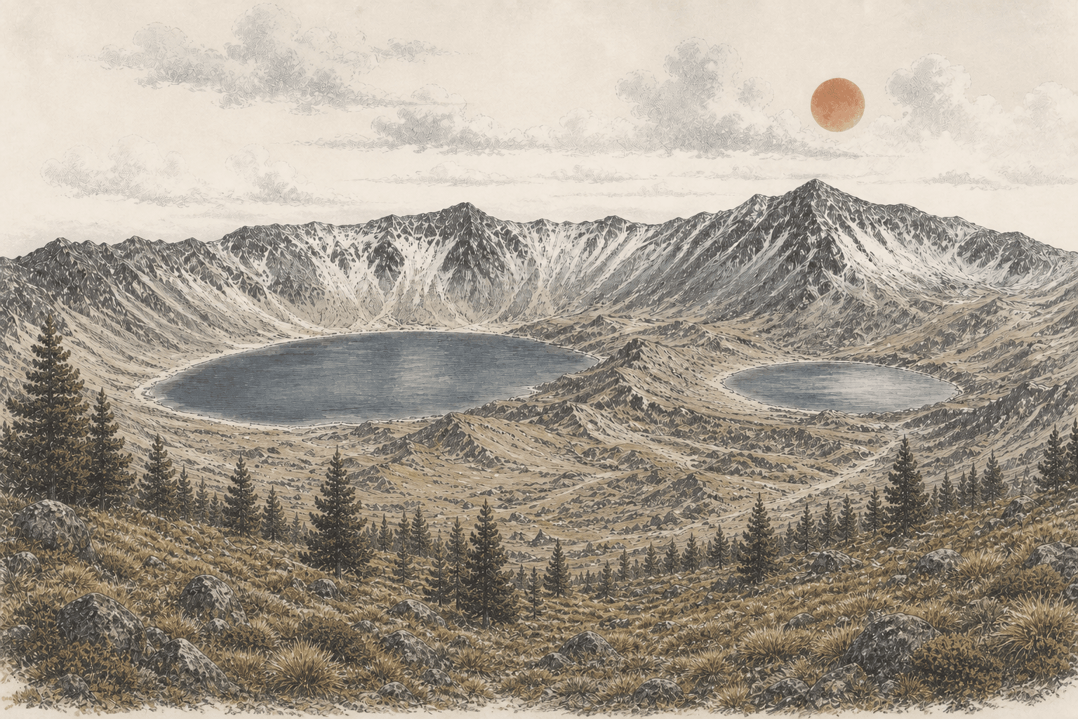
The landscape shifts from pine forest on the lower slopes to alpine grassland, volcanic rock and the Sun and Moon lakes inside the crater. The altitude changes the experience well before you reach the highest points.
This page brings together what belongs to the destination—access, weather, wildlife and general preparation—while every published hike keeps its own distance, duration, difficulty, warnings and route description.
A trail may remain documented while access is temporarily closed. This guide does not replace CONANP notices: always check the official source before deciding to visit the protected area.
Hikes in this destination
Trail forecast
Expected temperature, rain, wind and gusts for the upper slopes of Nevado de Toluca. Elevation and terrain can create substantial differences within the same area.
Today
Light rain shower
Tomorrow
Patchy rain nearby
Saturday
Light rain shower
Field kit
For a day at Nevado de Toluca, I would prioritize four things: keeping the load light, staying warm, blocking wind and rain, and walking with reliable grip.
About these recommendations
This is a general kit for the destination. The route, season and ground conditions determine whether you need additional equipment.
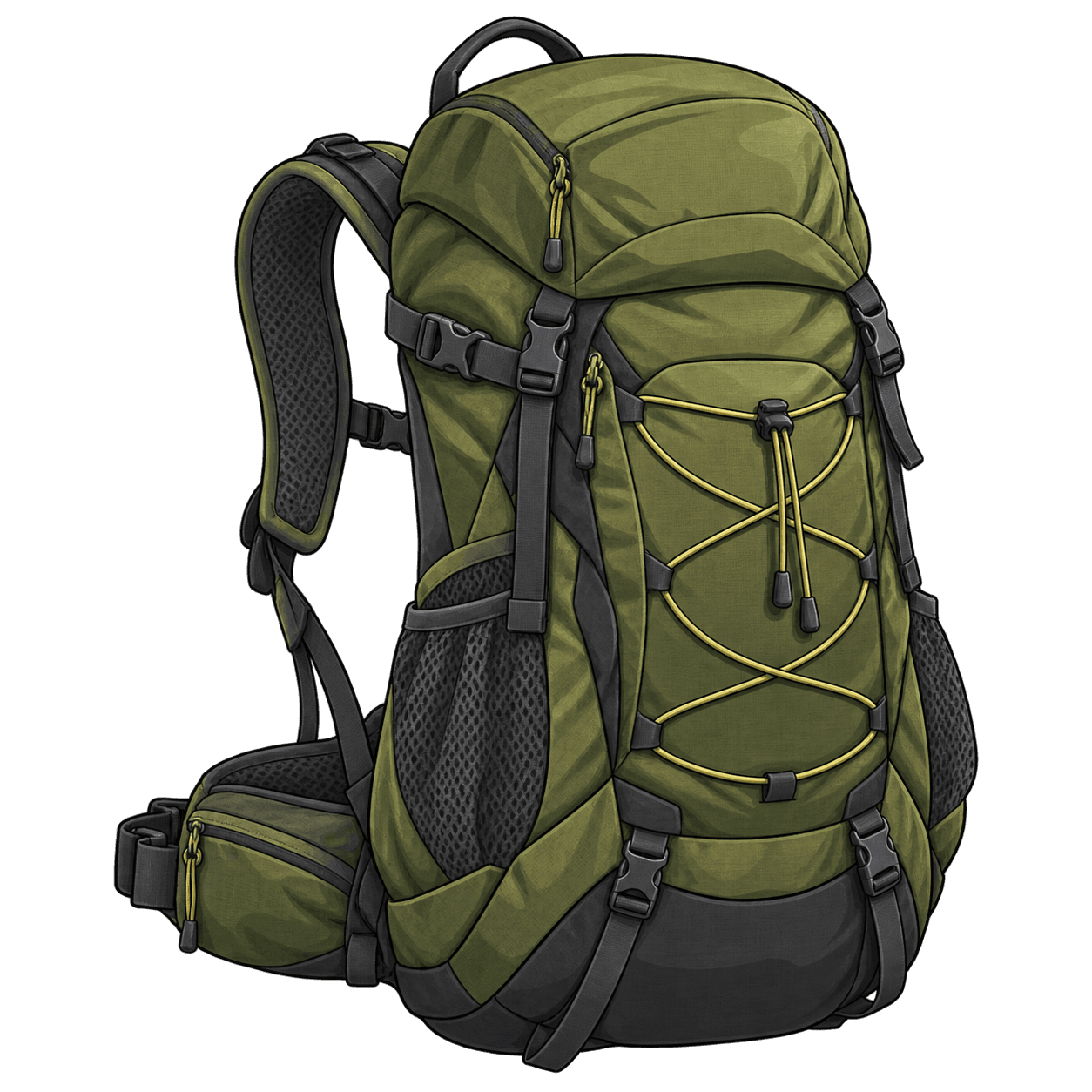
22 L · day hiking pack
It holds water, food and layers without making you carry more pack than the day requires.
The right volume for a one-day outing.
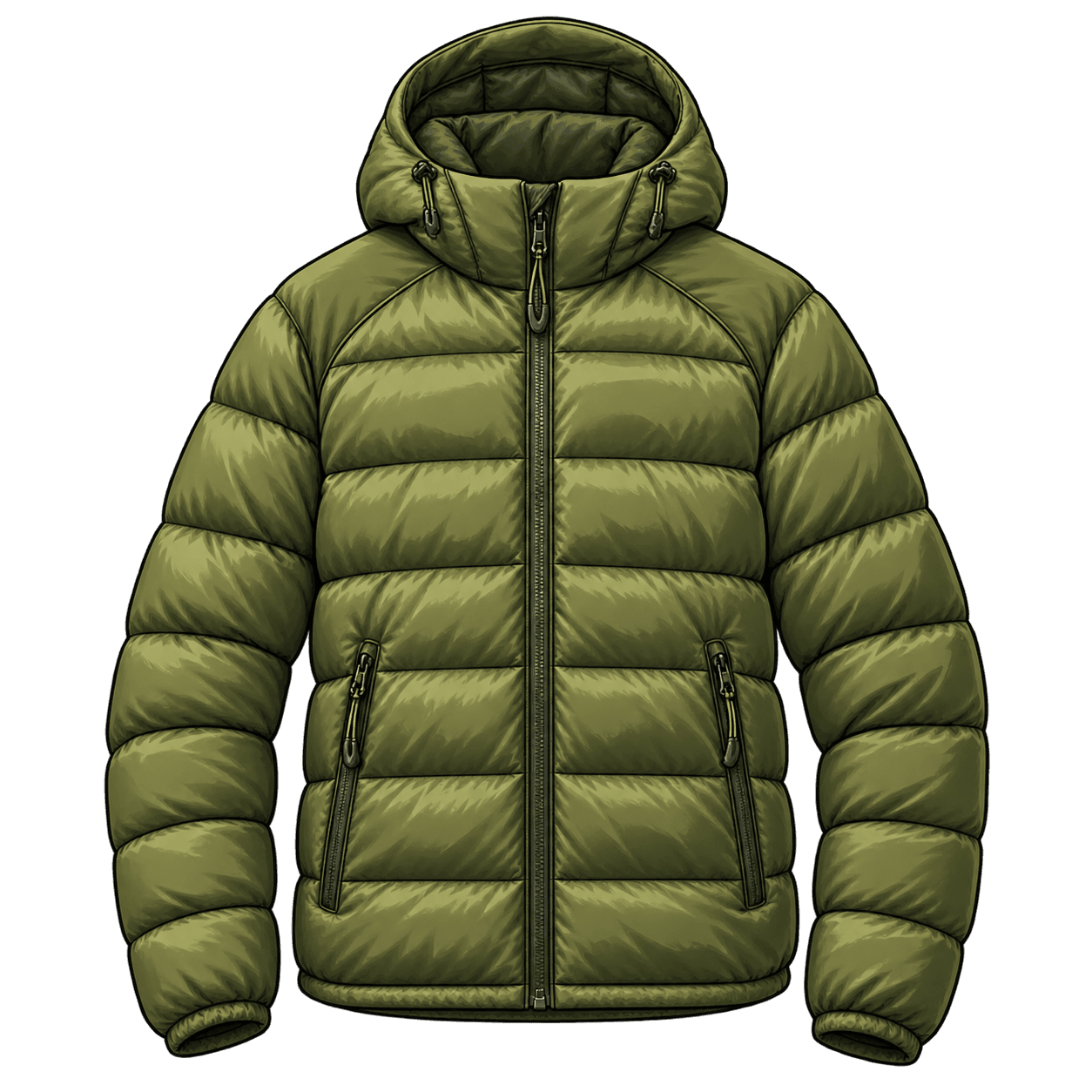
Approx. 370 g · packable
A warm, packable layer helps when temperatures drop or whenever you stop moving.
Useful warmth without unnecessary bulk.
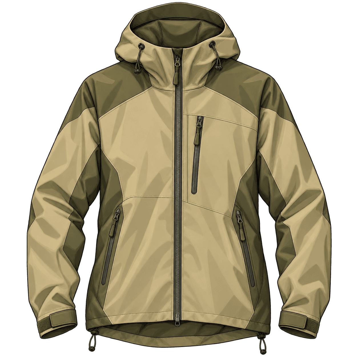
3-layer membrane · windproof
It blocks wind and rain without relying on one heavy jacket to solve every condition.
The barrier for changing weather.
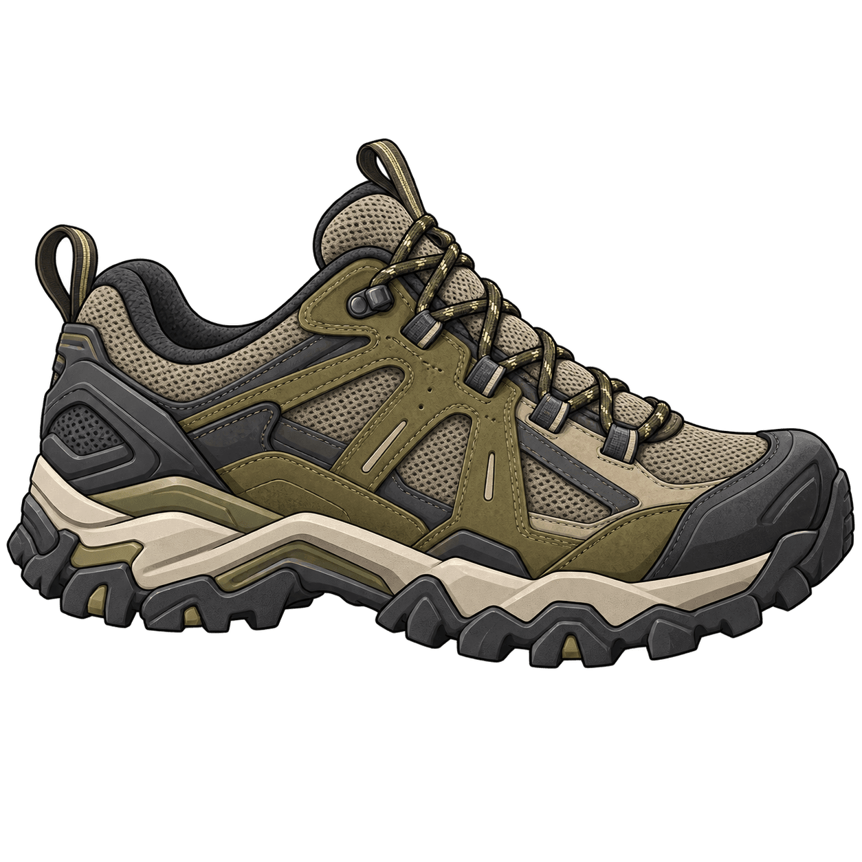
5 mm lugs · waterproof
The terrain calls for grip, stability and comfort over several hours, even without entering a technical variant.
Reliable grip before excessive gear.
Trail notes
GETTING THERE
It is the official reference point for access to the crater. Operations, available trails and restrictions may change even after you plan the trip.
CONANP currently has a full temporary closure notice for the protected area, including the crater, the lakes and every trail. Do not interpret this guide as confirmation that access is open. Check the official CONANP notice ↗
CONANP currently has a full temporary closure notice for the protected area, including the crater, the lakes and every trail. Do not interpret this guide as confirmation that access is open.
Check the official CONANP notice ↗Check the latest CONANP notice. A published route does not mean access is currently available.
This is the practical destination and historic control point for the visit—not a generic pin somewhere on the volcano.
The final stretch can be slow and may change with rain, ice, official operations or conservation work.
Confirm which trails are permitted, the operating hours and your actual time margin before you start walking.
Check the official status before driving there. If the closure remains in effect, do not look for alternative or unauthorized entrances.
4 steps
Swipe to continue →
Check the latest CONANP notice. A published route does not mean access is currently available.
This is the practical destination and historic control point for the visit—not a generic pin somewhere on the volcano.
The final stretch can be slow and may change with rain, ice, official operations or conservation work.
Confirm which trails are permitted, the operating hours and your actual time margin before you start walking.
Check the official status before driving there. If the closure remains in effect, do not look for alternative or unauthorized entrances.
What lives here
The landscape changes with elevation: pine forest opens into alpine grassland, and wildlife finds shelter far beyond what you can see from the trail.
Watch without approaching, never feed wildlife and do not remove plants. Leaving the trail also fragments the habitat these species need.
4 species
Swipe to explore →
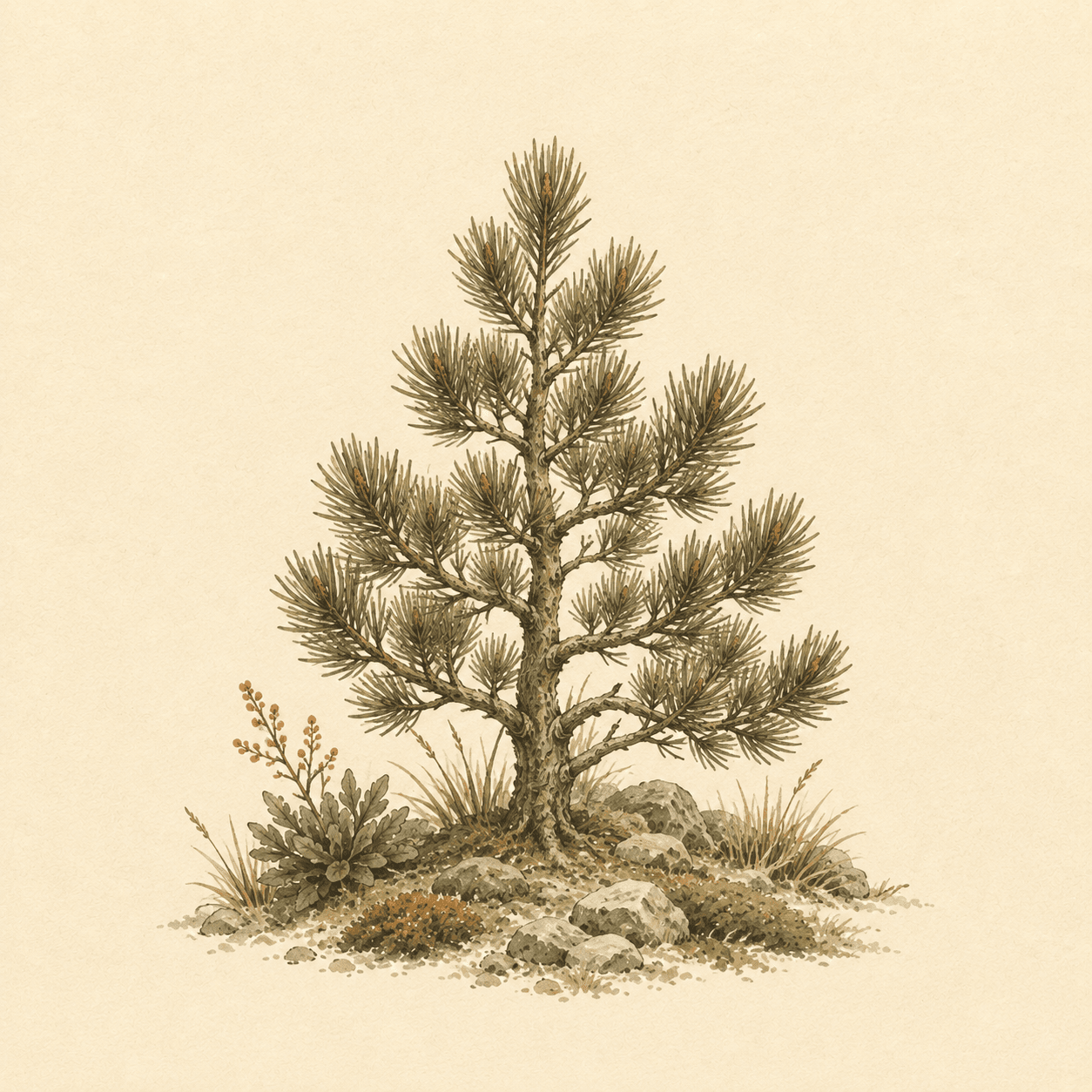 Flora
FloraHigh-altitude forest
Pinus hartwegii
It tolerates cold, wind and frost where few trees can thrive. Its forests mark the transition between wooded slopes and the open high-altitude landscape.
 Flora
FloraAlpine grassland
Muhlenbergia montana
It forms part of the grasslands that border the open forest and cover exposed slopes. It is not decoration: it provides habitat and living soil in an extreme environment.
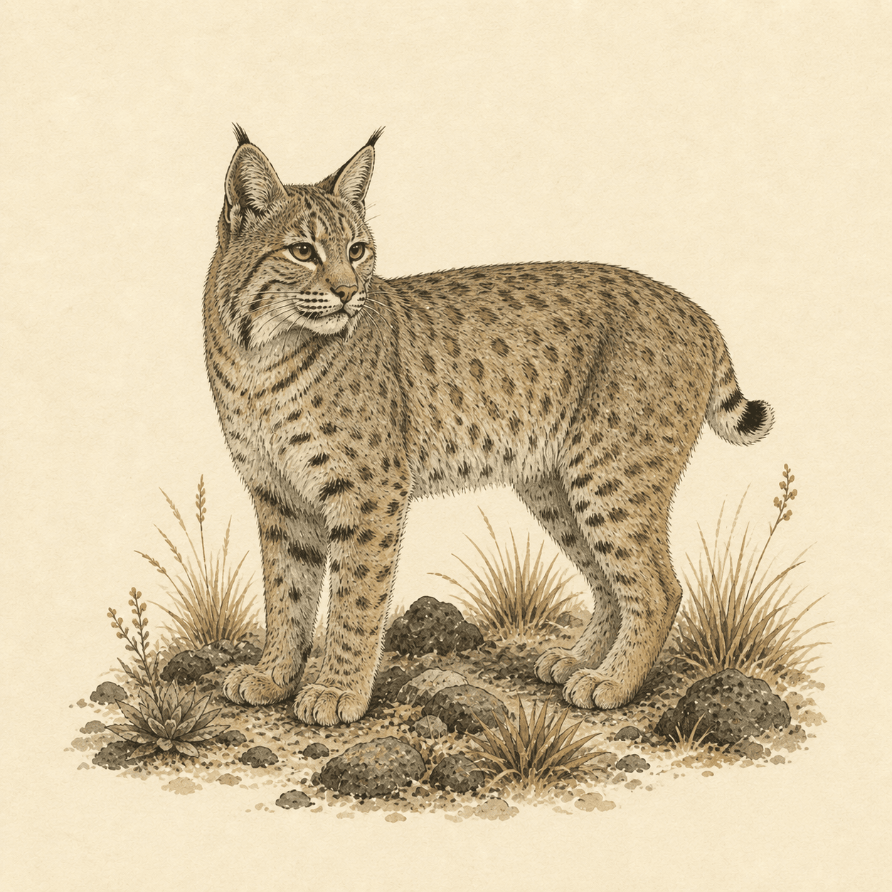 Fauna
FaunaElusive mammal
Lynx rufus
The species has been recorded inside the protected area, although seeing one during a visit is uncommon. Its presence is a reminder of how much habitat lies beyond the visible trail.
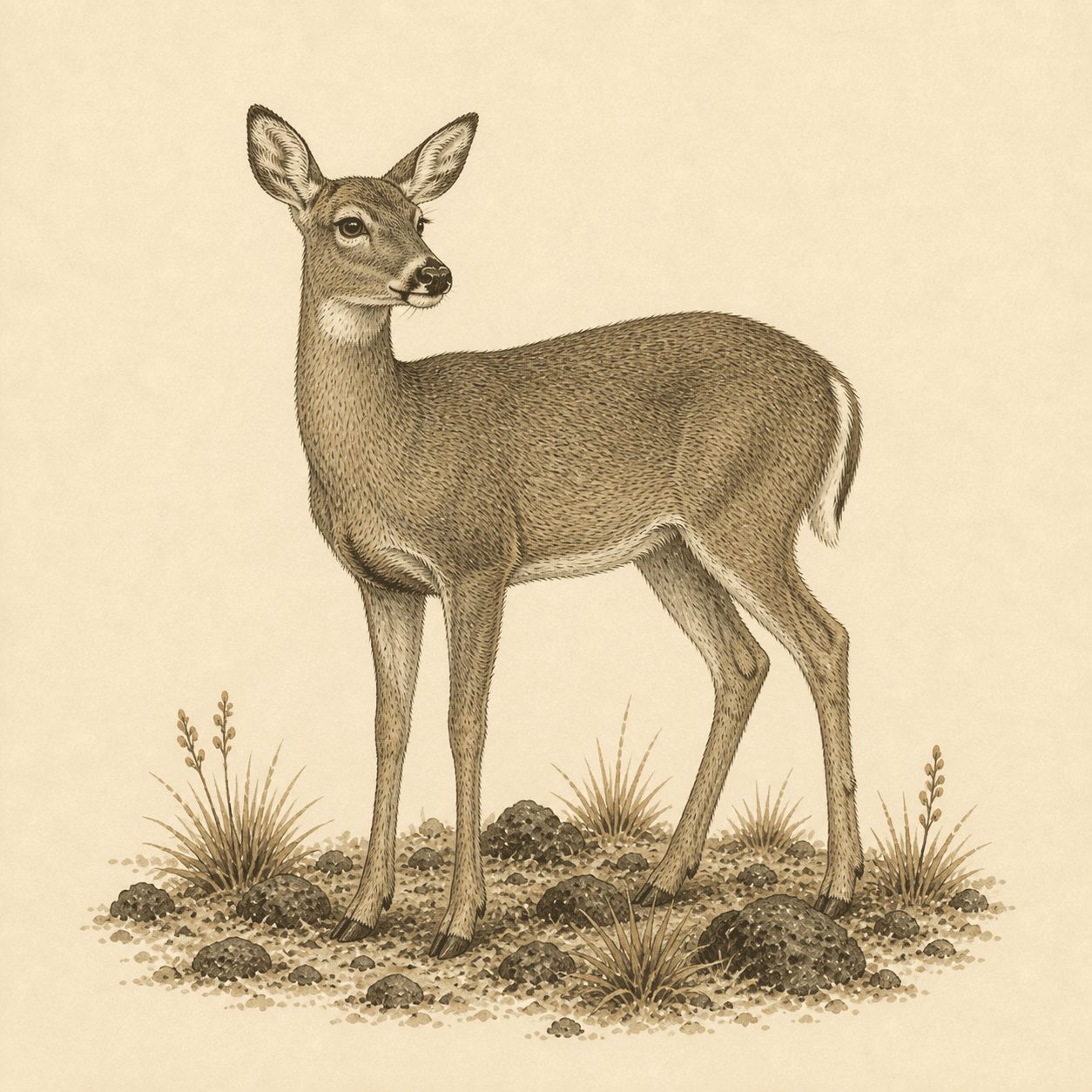 Fauna
FaunaForest and clearings
Odocoileus virginianus
It inhabits forest and open areas throughout the protected landscape. If one appears, observe it from a distance without following it or changing its path.
Quick questions
CONANP currently has a full temporary closure notice that includes the crater, the lakes and every trail. Check the official notice before each visit because conditions and restrictions may change.
Parque de los Venados is the official reference point for access toward the crater. First confirm that the protected area is open, then follow only CONANP guidance and instructions from authorized staff.
There are several. The protected area contains hikes with different starting points, distances and risks. Hasta Lejos gives each specific route its own guide.
No. A forecast helps with planning, but it does not replace official notices, local observations or an assessment of the terrain. High-altitude conditions can change quickly.
You should not use alternative entrances to bypass a restriction. An official closure may respond to weather, conservation or safety risks and still applies when a track remains visible online.